Robot Startup
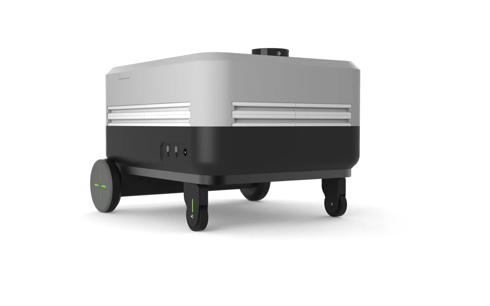
A general-purpose robotic platform for mapping, elevation point-cloud capture, and site monitoring.
A Mapping Robot
A client in Germany needed a robot that could autonomously map an area and generate a high-resolution elevation point-cloud map. The output fed directly into their estimating workflow — predicting landscaping costs from real terrain data instead of rough manual surveys.
- Category: Robotics
- Client: Confidential (Germany)
- Engineer: Vivek Gupta
Project description
Build a rugged, general-purpose rover that combines sensor fusion and on-board processing to capture accurate 3D terrain data, then turn that data into actionable cost estimates.
The story
Landscaping and earthworks estimates are traditionally slow and error-prone — someone walks the site, takes measurements, and guesses at volumes. The client wanted to replace that with a repeatable, data-driven process: send a robot across the site, capture a dense elevation point cloud, and compute material and labour costs from the model.
Our approach
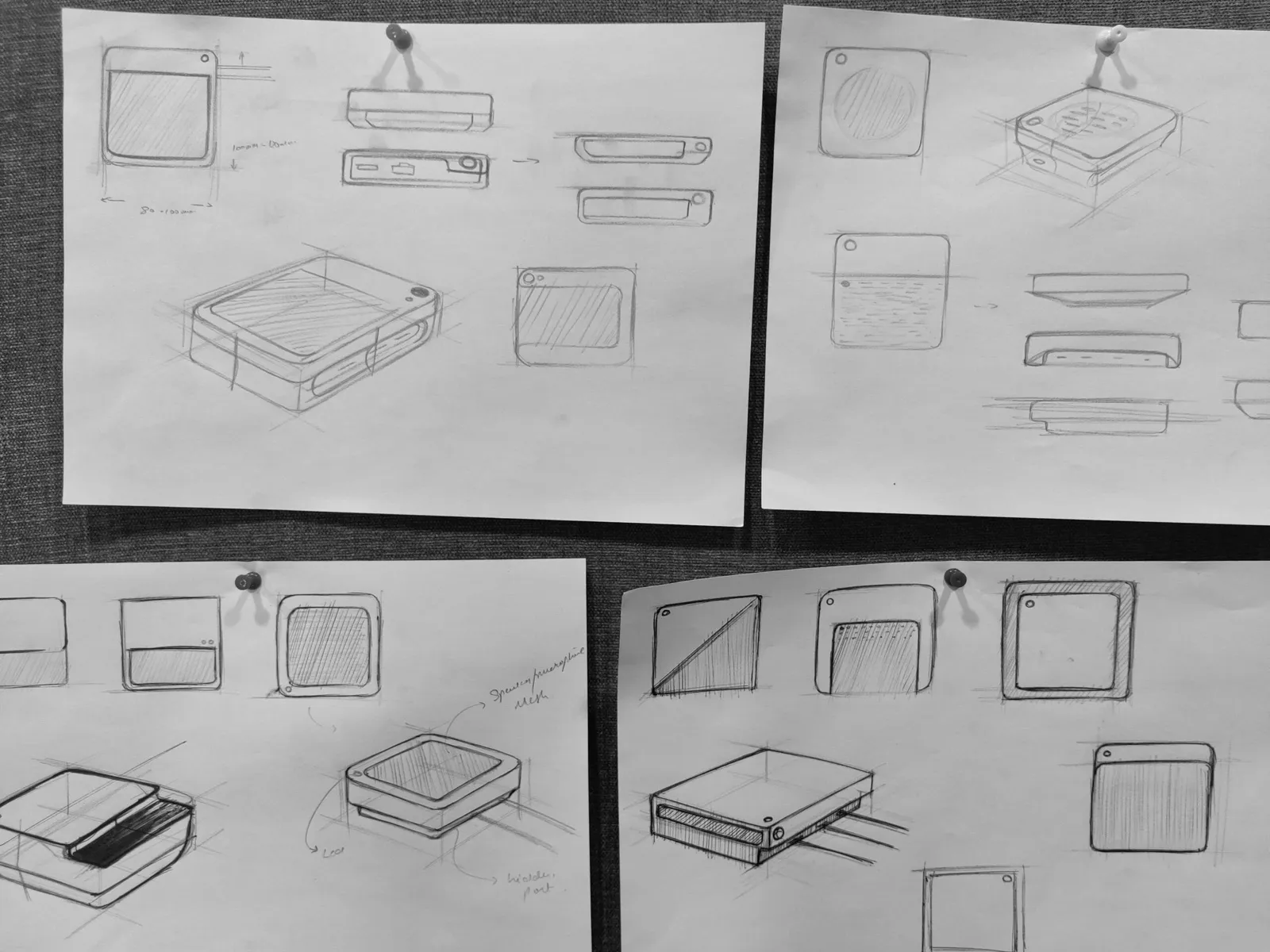
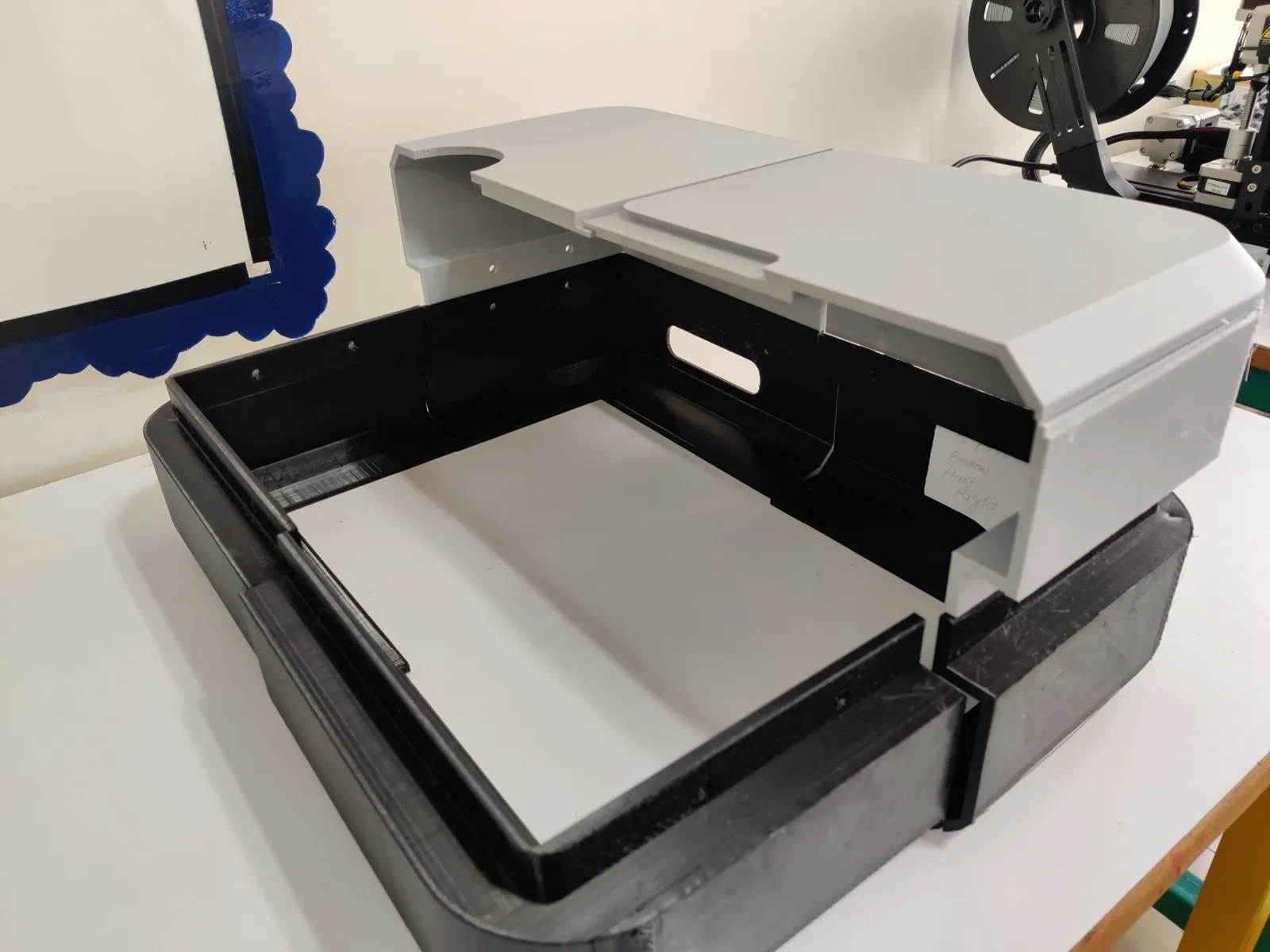
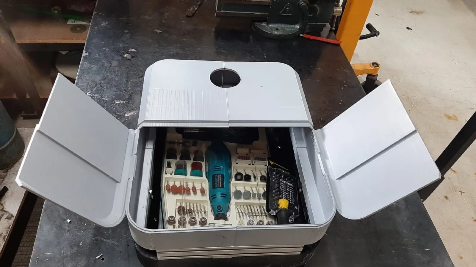
We designed a modular robotic base with adjustable units, so the same platform could carry different sensor payloads. On-board sensor fusion stitched the readings into a consistent point-cloud map of the terrain, capturing the elevation changes used for cut-and-fill and cost prediction.
The same structure was later repurposed for construction sites — mapping and monitoring floors as work progressed, giving teams an up-to-date 3D record of the build.